
Quebec University Libraries enhance the GeoIndex platform functionalities and expand the geospatial dataset collection
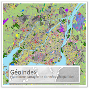
GeoIndex was launched in 2019. This shared geospatial data platform is a unique portal for geospatial data discovery, consultation, retrieval, and aerial photography for the Quebec academic community.
Geospatial data is generally represented as maps and information with several layers, each of which represents different elements such as lakes, rivers, roads, and municipal boundaries.
In September 2020, a project was launched to optimize and stabilize the platform. It should be completed in June 2021. The Geoindex technological infrastructure has already been upgraded to increase access for all Quebec universities.
In June 2021, the data extraction module will be redesigned, and the map server will be upgraded. GeoIndex currently includes more than 2184 layers, 504 of which are shared with the public. Over 620 are shared with all Quebec universities, and 749 with more than one academic institution.
Université Laval developed Geoindex with a shared governance structure that is based on a collective vision of collaboration, processes and resources.